
Sado topographic map
Interactive map
Click on the map to display elevation.
About this map
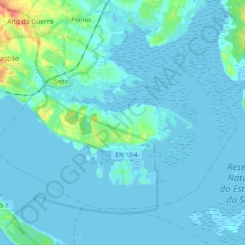
Name: Sado topographic map, elevation, terrain.
Location: Sado, Setúbal, Portugal (38.46196 -8.86892 38.53771 -8.73139)
Average elevation: 5 m
Minimum elevation: -4 m
Maximum elevation: 50 m