
Kilglass ED topographic map
Interactive map
Click on the map to display elevation.
About this map
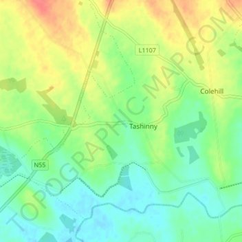
Name: Kilglass ED topographic map, elevation, terrain.
Location: Kilglass ED, Taghshinny, County Longford, Leinster, Ireland (53.57291 -7.72443 53.61291 -7.68443)
Average elevation: 72 m
Minimum elevation: 51 m
Maximum elevation: 103 m