
Guizo topographic map
Interactive map
Click on the map to display elevation.
About this map
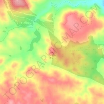
Name: Guizo topographic map, elevation, terrain.
Location: Guizo, Beja, 7800-661, Portugal (37.92620 -7.70059 37.92630 -7.70049)
Average elevation: 116 m
Minimum elevation: 47 m
Maximum elevation: 162 m
Other topographic maps
Click on a map to view its topography, its elevation and its terrain.