
Holt County topographic map
Interactive map
Click on the map to display elevation.
About this map
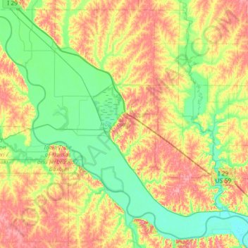
Name: Holt County topographic map, elevation, terrain.
Location: Holt County, Missouri, United States (39.86167 -95.55256 40.26172 -94.98809)
Average elevation: 292 m
Minimum elevation: 249 m
Maximum elevation: 360 m