
Heikant topographic map
Interactive map
Click on the map to display elevation.
About this map
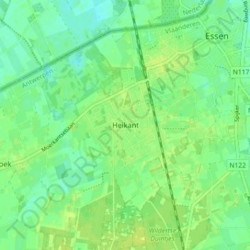
Name: Heikant topographic map, elevation, terrain.
Location: Heikant, Essen, Antwerpen, Vlaanderen, 2910, België (51.43364 4.42635 51.47364 4.46635)
Average elevation: 14 m
Minimum elevation: 6 m
Maximum elevation: 19 m