
Thank you for supporting this site ❤️
Make a donation
Make a donation
Zalki topographic map
Click on the map to display elevation.
Thank you for supporting this site ❤️
Make a donation
Make a donation
About this map
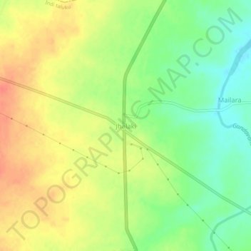
Name: Zalki topographic map, elevation, terrain.
Location: Zalki, Indi taluku, Vijayapura District, Karnataka, India (17.23500 75.78203 17.27500 75.82203)
Average elevation: 477 m
Minimum elevation: 450 m
Maximum elevation: 501 m
Thank you for supporting this site ❤️
Make a donation
Make a donation