
Gerheide topographic map
Interactive map
Click on the map to display elevation.
About this map
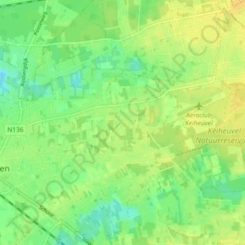
Name: Gerheide topographic map, elevation, terrain.
Location: Gerheide, Balen, Turnhout, Antwerpen, Vlaanderen, 2490, België (51.15818 5.18208 51.19818 5.22208)
Average elevation: 35 m
Minimum elevation: 23 m
Maximum elevation: 43 m
Other topographic maps
Click on a map to view its topography, its elevation and its terrain.