
Chaco'i topographic map
Interactive map
Click on the map to display elevation.
About this map
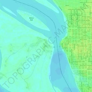
Name: Chaco'i topographic map, elevation, terrain.
Location: Chaco'i, Presidente Hayes, Región Occidental, Paraguay (-23.41053 -57.46219 -23.40511 -57.45703)
Average elevation: 69 m
Minimum elevation: 63 m
Maximum elevation: 78 m