
Jamaica topographic map
Interactive map
Click on the map to display elevation.
Jamaica
The charter goes on to say “that the same be and is hereby Incorporated into a Township by the name of Jamaica”—its name from the Natick word for beaver and not the Caribbean island. The grant encompassed forty-two square miles, at an altitude ranging from 688 feet (210 m) above sea level along the West River to 2,542 feet (775 m) on The Pinnacle. On the charter were listed sixty-seven grantees, many of whose surnames can be found among residents today.
About this map
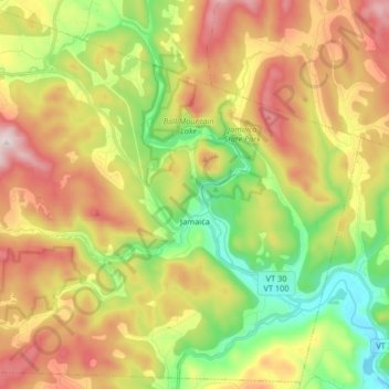
Name: Jamaica topographic map, elevation, terrain.
Location: Jamaica, Windham County, Vermont, 05343, United States (43.05042 -72.87231 43.16615 -72.70848)
Average elevation: 419 m
Minimum elevation: 138 m
Maximum elevation: 763 m