
El Peral topographic map
Interactive map
Click on the map to display elevation.
About this map
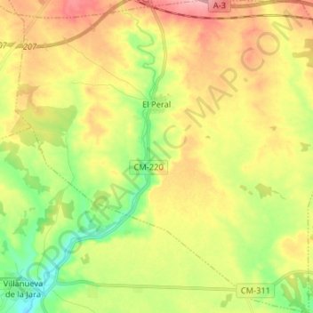
Name: El Peral topographic map, elevation, terrain.
Location: El Peral, Cuenca, Castela-Mancha, Espanha (39.43232 -1.95675 39.53228 -1.82926)
Average elevation: 810 m
Minimum elevation: 753 m
Maximum elevation: 872 m