
Amemya topographic map
Interactive map
Click on the map to display elevation.
About this map
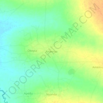
Name: Amemya topographic map, elevation, terrain.
Location: Amemya, Amuria, Eastern Region, Uganda (2.21333 33.66333 2.25333 33.70333)
Average elevation: 1,066 m
Minimum elevation: 1,051 m
Maximum elevation: 1,082 m