
Kotawaringin Hulu topographic map
Interactive map
Click on the map to display elevation.
About this map
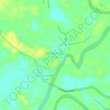
Name: Kotawaringin Hulu topographic map, elevation, terrain.
Location: Kotawaringin Hulu, Central Kalimantan, Indonesia (-2.50228 111.42308 -2.46228 111.46308)
Average elevation: 10 m
Minimum elevation: -1 m
Maximum elevation: 22 m