
Menjangan topographic map
Interactive map
Click on the map to display elevation.
About this map
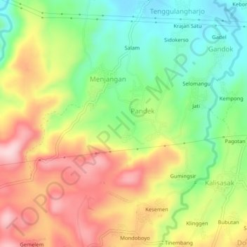
Name: Menjangan topographic map, elevation, terrain.
Location: Menjangan, Batang, Central Java, 51271, Indonesia (-7.02256 109.87459 -6.98256 109.91459)
Average elevation: 280 m
Minimum elevation: 163 m
Maximum elevation: 415 m