
Folhadela topographic map
Interactive map
Click on the map to display elevation.
About this map
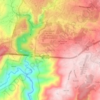
Name: Folhadela topographic map, elevation, terrain.
Location: Folhadela, Vila Real, 5000-101, Portugal (41.26030 -7.75924 41.30030 -7.71924)
Average elevation: 423 m
Minimum elevation: 177 m
Maximum elevation: 566 m