
Schoor topographic map
Interactive map
Click on the map to display elevation.
About this map
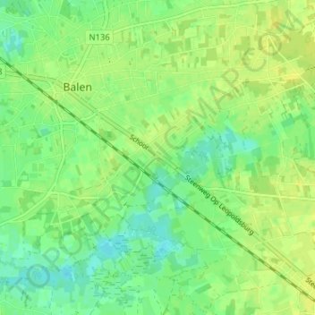
Name: Schoor topographic map, elevation, terrain.
Location: Schoor, Balen, Turnhout, Antwerpen, Vlaanderen, 2490, België (51.14172 5.16602 51.18172 5.20602)
Average elevation: 33 m
Minimum elevation: 23 m
Maximum elevation: 40 m