
Santo Domingo Ocotitlán topographic map
Interactive map
Click on the map to display elevation.
About this map
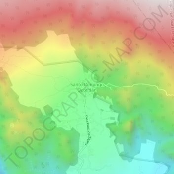
Name: Santo Domingo Ocotitlán topographic map, elevation, terrain.
Location: Santo Domingo Ocotitlán, Tepoztlán, Morelos, 62523, Mexico (18.99386 -99.08102 19.03386 -99.04102)
Average elevation: 2,249 m
Minimum elevation: 1,752 m
Maximum elevation: 2,815 m