
Limal topographic map
Interactive map
Click on the map to display elevation.
About this map
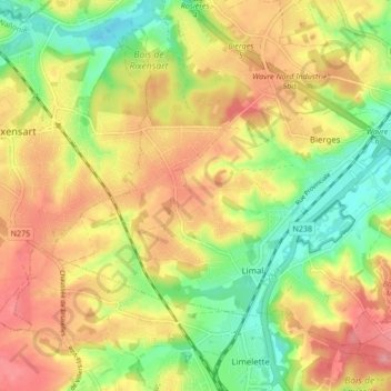
Name: Limal topographic map, elevation, terrain.
Location: Limal, Waver, Nijvel, Waals-Brabant, Wallonië, 1302, België (50.68277 4.52970 50.72393 4.61475)
Average elevation: 86 m
Minimum elevation: 39 m
Maximum elevation: 137 m