
La Buttte topographic map
Interactive map
Click on the map to display elevation.
About this map
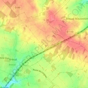
Name: La Buttte topographic map, elevation, terrain.
Average elevation: 140 m
Minimum elevation: 105 m
Maximum elevation: 163 m
Other topographic maps
Click on a map to view its topography, its elevation and its terrain.
Le Hamel
France > Île-de-France > Yvelines > Bréval
Le Hamel, Bréval, Mantes-la-Jolie, Yvelines, Île-de-France, France métropolitaine, 78980, France
Average elevation: 139 m