
ตำบลท่าวังทอง topographic map
Interactive map
Click on the map to display elevation.
About this map
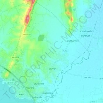
Name: ตำบลท่าวังทอง topographic map, elevation, terrain.
Location: ตำบลท่าวังทอง, อำเภอเมืองพะเยา, Phayao, Thailand (19.15913 99.88710 19.25060 99.96610)
Average elevation: 403 m
Minimum elevation: 383 m
Maximum elevation: 507 m