
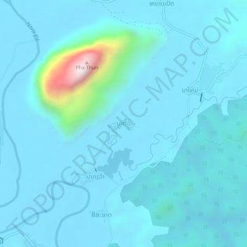
ນາຕີ້ວ topographic map
Interactive map
Click on the map to display elevation.
About this map
Name: ນາຕີ້ວ topographic map, elevation, terrain.
Location: ນາຕີ້ວ, Feuang, Provinz Vientiane, Laos (18.74646 102.12707 18.78646 102.16707)
Average elevation: 291 m
Minimum elevation: 216 m
Maximum elevation: 1,152 m