
Broken Bow Lake topographic map
Interactive map
Click on the map to display elevation.
About this map
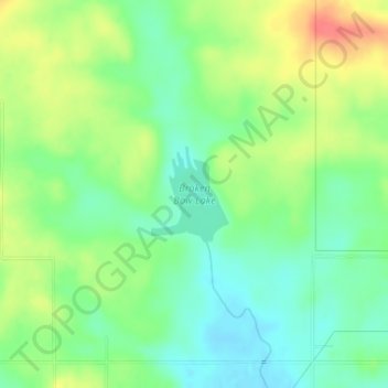
Name: Broken Bow Lake topographic map, elevation, terrain.
Location: Broken Bow Lake, McCurtain County, Oklahoma, United States (34.06359 -94.77064 34.07027 -94.76410)
Average elevation: 158 m
Minimum elevation: 135 m
Maximum elevation: 191 m
Other topographic maps
Click on a map to view its topography, its elevation and its terrain.
Broken Bow
United States > Oklahoma > McCurtain County
Broken Bow, McCurtain County, Oklahoma, United States
Average elevation: 155 m
Candy Mountain
United States > Oklahoma > McCurtain County
Candy Mountain, McCurtain County, Oklahoma, United States
Average elevation: 251 m
Sherwood
United States > Oklahoma > McCurtain County > Sherwood
Sherwood, McCurtain County, Oklahoma, United States
Average elevation: 307 m