
Punta Tersiva topographic map
Interactive map
Click on the map to display elevation.
About this map
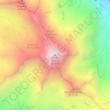
Name: Punta Tersiva topographic map, elevation, terrain.
Location: Punta Tersiva, Cogne, Valle d'Aosta, Italia (45.62026 7.47607 45.62036 7.47617)
Average elevation: 2,869 m
Minimum elevation: 2,131 m
Maximum elevation: 3,508 m