
Jantur Tabalas topographic map
Interactive map
Click on the map to display elevation.
About this map
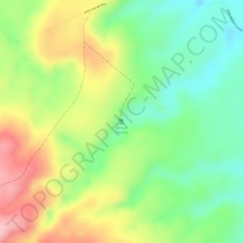
Name: Jantur Tabalas topographic map, elevation, terrain.
Location: Jantur Tabalas, Linggang Melapeh, East Kalimantan, Indonesia (-0.18072 115.57448 -0.18062 115.57458)
Average elevation: 285 m
Minimum elevation: 207 m
Maximum elevation: 378 m