
Isla Grande topographic map
Interactive map
Click on the map to display elevation.
About this map
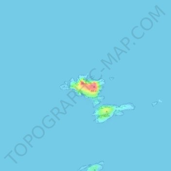
Name: Isla Grande topographic map, elevation, terrain.
Location: Isla Grande, Na h-Eileanan Siar, Escocia, Reino Unido (58.28607 -7.59565 58.28995 -7.58481)
Average elevation: 1 m
Minimum elevation: 0 m
Maximum elevation: 77 m