
Izana topographic map
Interactive map
Click on the map to display elevation.
About this map
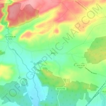
Name: Izana topographic map, elevation, terrain.
Location: Izana, Quintana Redonda, Soria, Castile and León, Spain (41.65258 -2.62996 41.69258 -2.58996)
Average elevation: 1,065 m
Minimum elevation: 1,014 m
Maximum elevation: 1,134 m