
Boccioleto topographic map
Interactive map
Click on the map to display elevation.
About this map
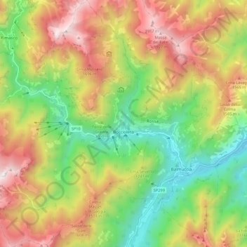
Name: Boccioleto topographic map, elevation, terrain.
Location: Boccioleto, Vercelli, Piëmont, Italië (45.79517 8.03003 45.87023 8.12822)
Average elevation: 1,185 m
Minimum elevation: 518 m
Maximum elevation: 1,993 m
Other topographic maps
Click on a map to view its topography, its elevation and its terrain.