
Sanur Kauh topographic map
Interactive map
Click on the map to display elevation.
About this map
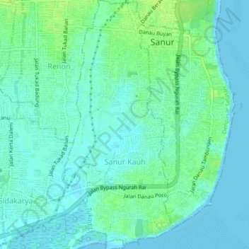
Name: Sanur Kauh topographic map, elevation, terrain.
Location: Sanur Kauh, Denpasar Selatan, Denpasar, Bali, Indonesia (-8.71341 115.24073 -8.67712 115.25816)
Average elevation: 5 m
Minimum elevation: -1 m
Maximum elevation: 14 m