
Lenox topographic map
Interactive map
Click on the map to display elevation.
About this map
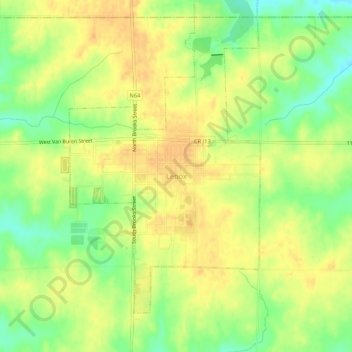
Name: Lenox topographic map, elevation, terrain.
Location: Lenox, Taylor County, Iowa, 50851, United States (40.86130 -94.57889 40.90130 -94.53889)
Average elevation: 389 m
Minimum elevation: 369 m
Maximum elevation: 402 m