
Davenport topographic map
Interactive map
Click on the map to display elevation.
About this map
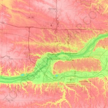
Name: Davenport topographic map, elevation, terrain.
Location: Davenport, Scott County, Iowa, 52801, United States (41.36358 -90.73710 41.68358 -90.41710)
Average elevation: 212 m
Minimum elevation: 142 m
Maximum elevation: 247 m