
Burghill topographic map
Interactive map
Click on the map to display elevation.
About this map
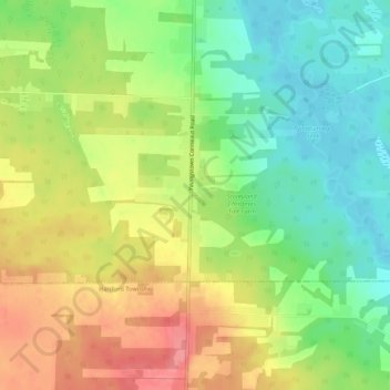
Name: Burghill topographic map, elevation, terrain.
Location: Burghill, Trumbull County, Ohio, 44404, United States (41.33950 -80.58841 41.37950 -80.54841)
Average elevation: 310 m
Minimum elevation: 273 m
Maximum elevation: 354 m