
Great Baddow topographic map
Interactive map
Click on the map to display elevation.
About this map
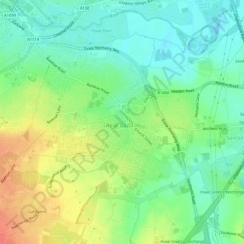
Name: Great Baddow topographic map, elevation, terrain.
Location: Great Baddow, Chelmsford, Essex, England, United Kingdom (51.70118 0.46907 51.73080 0.52053)
Average elevation: 37 m
Minimum elevation: 16 m
Maximum elevation: 68 m
Other topographic maps
Click on a map to view its topography, its elevation and its terrain.
South Woodham Ferrers
United Kingdom > England > Essex > Chelmsford > South Woodham Ferrers
South Woodham Ferrers, Chelmsford, Essex, East of England, England, United Kingdom
Average elevation: 14 m