
Westrode topographic map
Interactive map
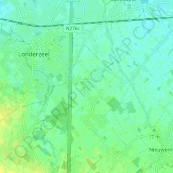
Click on the map to display elevation.
About this map
Name: Westrode topographic map, elevation, terrain.
Average elevation: 13 m
Minimum elevation: 6 m
Maximum elevation: 23 m
Westrode ligt nabij de A12. De hoogte bedraagt ongeveer 20 meter en het landschap is vlak.