
Shatt al-Arab topographic map
Interactive map
Click on the map to display elevation.
About this map
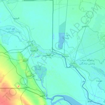
Name: Shatt al-Arab topographic map, elevation, terrain.
Location: Shatt al-Arab, Basra, 601010, Iraq (29.93232 47.44235 31.00471 48.61502)
Average elevation: 8 m
Minimum elevation: -10 m
Maximum elevation: 123 m