
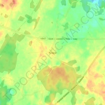
Krapa topographic map
Interactive map
Click on the map to display elevation.
About this map
Name: Krapa topographic map, elevation, terrain.
Location: Krapa, Gulbenes novads, Vidzeme, Latvia (57.10854 26.63686 57.14854 26.67686)
Average elevation: 139 m
Minimum elevation: 118 m
Maximum elevation: 158 m