
Gairan Wasti topographic map
Interactive map
Click on the map to display elevation.
About this map
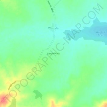
Name: Gairan Wasti topographic map, elevation, terrain.
Location: Gairan Wasti, Waruda, Dharashiv, Maharashtra, India (18.22619 76.06191 18.26619 76.10191)
Average elevation: 663 m
Minimum elevation: 644 m
Maximum elevation: 703 m