
Grupont topographic map
Interactive map
Click on the map to display elevation.
About this map
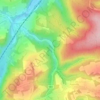
Name: Grupont topographic map, elevation, terrain.
Location: Grupont, Tellin, Neufchâteau, Luxemburg, Wallonië, België (50.07029 5.27047 50.09853 5.31662)
Average elevation: 324 m
Minimum elevation: 222 m
Maximum elevation: 429 m