
Sleman topographic map
Interactive map
Click on the map to display elevation.
About this map
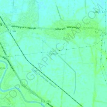
Name: Sleman topographic map, elevation, terrain.
Location: Sleman, Indramayu Regency, West Java, 45271, Indonesia (-6.50578 108.30603 -6.46578 108.34603)
Average elevation: 10 m
Minimum elevation: 6 m
Maximum elevation: 14 m
Other topographic maps
Click on a map to view its topography, its elevation and its terrain.
Kandanghaur
Indonesia > West Java > Indramayu Regency > Kandanghaur
Kandanghaur, Indramayu Regency, West Java, Indonesia
Average elevation: 2 m