
Sulaco topographic map
Interactive map
Click on the map to display elevation.
About this map
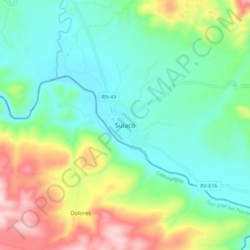
Name: Sulaco topographic map, elevation, terrain.
Location: Sulaco, Yoro, Honduras (14.87135 -87.30223 14.95135 -87.22223)
Average elevation: 570 m
Minimum elevation: 392 m
Maximum elevation: 982 m