
La Chapelle topographic map
Interactive map
Click on the map to display elevation.
About this map
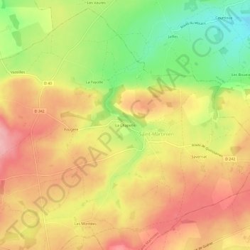
Name: La Chapelle topographic map, elevation, terrain.
Average elevation: 391 m
Minimum elevation: 305 m
Maximum elevation: 456 m
Other topographic maps
Click on a map to view its topography, its elevation and its terrain.
Savernat
France > Auvergne-Rhône-Alpes > Allier > Saint-Martinien
Savernat, Saint-Martinien, Montluçon, Allier, Auvergne-Rhône-Alpes, France métropolitaine, 03380, France
Average elevation: 390 m