
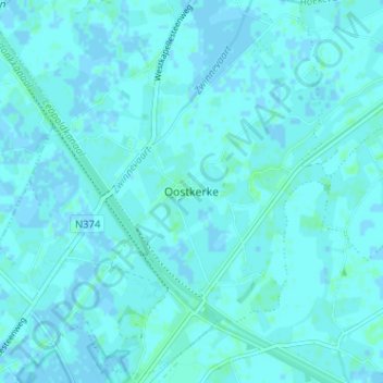
Oostkerke topographic map
Interactive map
Click on the map to display elevation.
About this map
Name: Oostkerke topographic map, elevation, terrain.
Location: Oostkerke, Brugge, West-Vlaanderen, Vlaanderen, België (51.25777 3.27564 51.29777 3.31564)
Average elevation: 1 m
Minimum elevation: -2 m
Maximum elevation: 4 m