
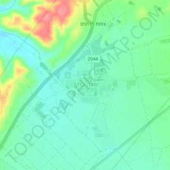
Sde Bokker topographic map
Interactive map
Click on the map to display elevation.
About this map
Name: Sde Bokker topographic map, elevation, terrain.
Average elevation: 481 m
Minimum elevation: 457 m
Maximum elevation: 537 m
Other topographic maps
Click on a map to view its topography, its elevation and its terrain.
Ramat Negev Regional Council
Israel > South District > Ramat Negev Regional Council
Ramat Negev Regional Council, Beersheba Subdistrict, South District, Israel
Average elevation: 415 m
Sde Boker
Israel > South District > Ramat Negev Regional Council > Sde Boker
Sde Boker, Ramat Negev Regional Council, Beersheba Subdistrict, South District, 849000, Israel
Average elevation: 486 m