
La Habana topographic map
Interactive map
Click on the map to display elevation.
About this map
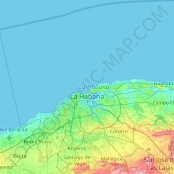
Name: La Habana topographic map, elevation, terrain.
Location: La Habana, San Miguel del Padrón, Cuba (22.93371 -82.60726 23.38577 -82.08142)
Average elevation: 35 m
Minimum elevation: 0 m
Maximum elevation: 293 m
Other topographic maps
Click on a map to view its topography, its elevation and its terrain.
Parque Lenin
Cuba > San Miguel del Padrón > La Habana
Parque Lenin, Arroyo Naranjo, La Habana, San Miguel del Padrón, Cuba
Average elevation: 66 m