
El Hadjadj topographic map
Interactive map
Click on the map to display elevation.
About this map
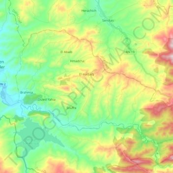
Name: El Hadjadj topographic map, elevation, terrain.
Location: El Hadjadj, Daïra Ouled Ben Abdelkader, Chlef, Algérie (35.95396 1.29992 36.05440 1.48828)
Average elevation: 403 m
Minimum elevation: 156 m
Maximum elevation: 873 m