
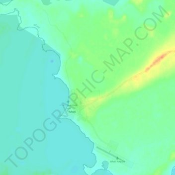
Whatì topographic map
Interactive map
Click on the map to display elevation.
About this map
Name: Whatì topographic map, elevation, terrain.
Location: Whatì, Behchokǫ̀, Northwest Territories, X0E 1P0, Canada (63.12535 -117.29622 63.17838 -117.18086)
Average elevation: 269 m
Minimum elevation: 259 m
Maximum elevation: 299 m