
Tanout topographic map
Interactive map
Click on the map to display elevation.
About this map
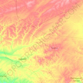
Name: Tanout topographic map, elevation, terrain.
Location: Tanout, Zinder, Niger (14.11240 7.35444 16.16850 9.63005)
Average elevation: 480 m
Minimum elevation: 389 m
Maximum elevation: 623 m
Other topographic maps
Click on a map to view its topography, its elevation and its terrain.