
Boechout topographic map
Interactive map
Click on the map to display elevation.
About this map
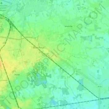
Name: Boechout topographic map, elevation, terrain.
Location: Boechout, Antwerpen, Vlaanderen, 2530, België (51.12961 4.47911 51.18971 4.53927)
Average elevation: 12 m
Minimum elevation: 3 m
Maximum elevation: 25 m
Other topographic maps
Click on a map to view its topography, its elevation and its terrain.