
Pulau Baru topographic map
Interactive map
Click on the map to display elevation.
About this map
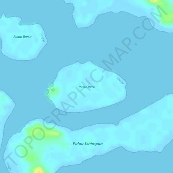
Name: Pulau Baru topographic map, elevation, terrain.
Location: Pulau Baru, Lingga, Riau Islands, Indonesia (0.44922 104.39638 0.45720 104.40908)
Average elevation: 2 m
Minimum elevation: -2 m
Maximum elevation: 26 m
Other topographic maps
Click on a map to view its topography, its elevation and its terrain.
Pulau Serang
Indonesia > Riau Islands > Lingga > Kota
Pulau Serang, Kota, Lingga, Riau Islands, Indonesia
Average elevation: 1 m