
Alt-Hoeselt topographic map
Interactive map
Click on the map to display elevation.
Alt-Hoeselt
Het plateau, met een hoogte tot 100 meter, wordt benut voor landbouw en fruitteelt.
About this map
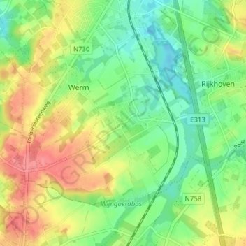
Name: Alt-Hoeselt topographic map, elevation, terrain.
Average elevation: 85 m
Minimum elevation: 55 m
Maximum elevation: 124 m