
Bernister topographic map
Interactive map
Click on the map to display elevation.
About this map
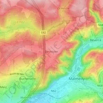
Name: Bernister topographic map, elevation, terrain.
Location: Bernister, Malmedy, Verviers, Luik, Wallonië, 4960, België (50.41704 5.99227 50.45704 6.03227)
Average elevation: 437 m
Minimum elevation: 318 m
Maximum elevation: 536 m