
Mount Hermon topographic map
Interactive map
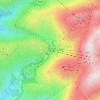
Click on the map to display elevation.
About this map
Name: Mount Hermon topographic map, elevation, terrain.
Average elevation: 1,741 m
Minimum elevation: 1,406 m
Maximum elevation: 2,073 m
Other topographic maps
Click on a map to view its topography, its elevation and its terrain.
Golan Heights
Israel > North District > Golan Regional Council
Golan Heights, Golan Regional Council, Golan Heights Subdistrict, North District, Israel
Average elevation: 533 m
Mt. Hermon
Israel > North District > Golan Regional Council
Mt. Hermon, Golan Regional Council, North District, Israel
Average elevation: 2,016 m